
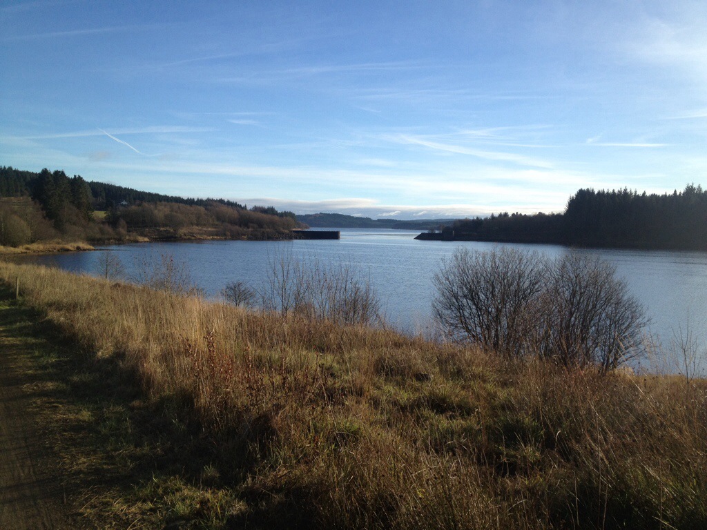
Straight from Saturday’s Port Road excursion, Sunday saw Abi and I heading out to Kielder Forest to assist Iain with some photograph he required for the latest collaboration between himself and Roy Perkins; The Border Counties Railway Then and Now which should be out next year. As with earlier expeditions, this was to obtain comparative views to match those of earlier periods.
The BCR ran through this area prior to irs final closure to all traffic in 1958.
The twist with this section is that a large part of it is now under water; 10-15 metres in places!
This is due to the area being flooded at great expense to form a massive reservoir in the late 1970s providing water for the steelworks at Consett and the surrounding forests developed to provide pit props for the Northumbrian mining industry.
Well, that worked out well, didn’t it…?
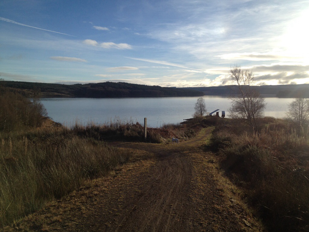
Anyway, it’s intriguing to think that where the water lies beyond the ramp visible in the corner of one of these views was the bottom half of a rope-worked incline linking Plashetts Colliery with Plashetts Station and the BCR.
All there, the length of an articulated lorry below the still waters of the reservoir!
If you want to know I’m not spinning a yarn, you’ll need to buy the book when it appears from Amberley Publishing in the new year!

Leave a comment